
Montenegro · 8 June 2026
The Tara Canyon: Europe's deepest gorge
82 kilometres of canyon, up to 1,300 metres deep, ancient black pine forest and the cleanest river in Europe. How to visit the Tara Canyon.
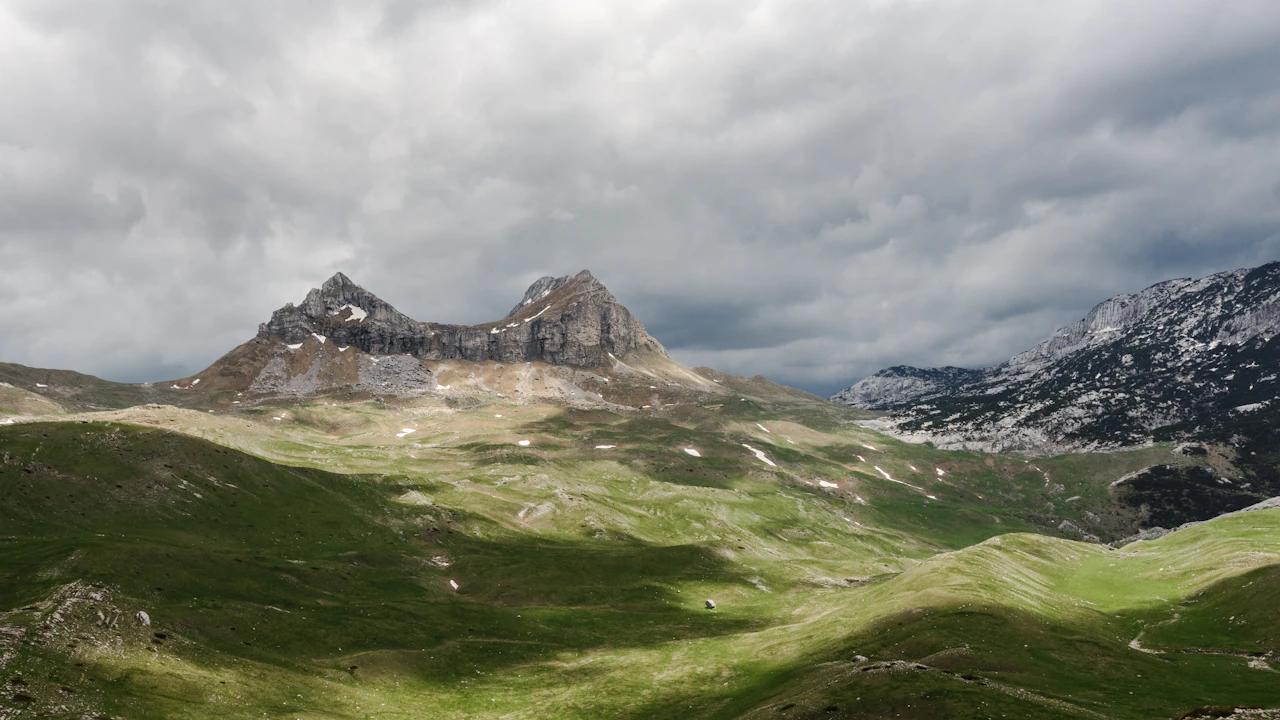
The Tara River rises in the Dinaric Alps, at the confluence of two smaller streams in Montenegrin territory, and takes just over one hundred and forty kilometres to reach the Drina, where its waters — so transparent that the riverbed is visible at seven or eight metres’ depth — mix with less clear water and become unrecognisable. During those one hundred and forty kilometres, the Tara has carved Europe’s deepest canyon: eighty-two kilometres long, one thousand three hundred metres at its deepest point. The second deepest canyon in the world, after the Colorado’s Grand Canyon.
This fact appears in every Montenegrin brochure, and like all facts repeated too often, it has lost some of its power to astonish. But when you are standing at the canyon’s edge, looking down through the treetops towards the silver thread of river running a hundred, two hundred, three hundred metres below, the number recovers its meaning. It is a hole in the earth of dimensions that the brain takes a moment to process.
The geology that made the canyon possible
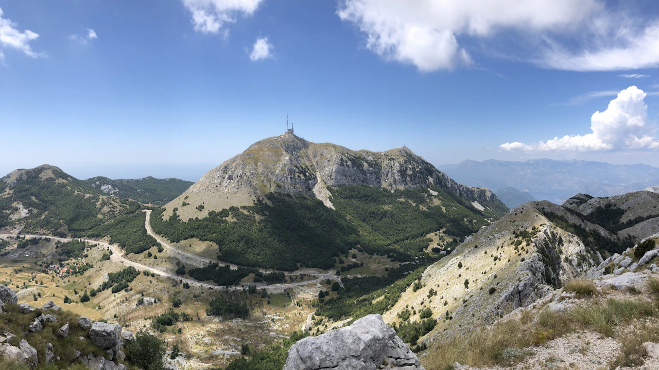
The Tara Canyon is the product of two converging factors: the hardness of the karst limestone over which the river flows, and the tectonic uplift of the Durmitor plateau that began several million years ago. As the plateau rose, the river had to cut deeper to maintain its gradient. It has been doing so ever since, and the result is a scar in the rock that in some sections exceeds a thousand metres of depth with near-vertical walls.
The river is so clean because the Tara catchment has very little agriculture and almost no industry. The water reaching the river is primarily snowmelt and rainfall filtered through the calcareous karst, which acts as a natural purifier. Water quality studies of the Tara consistently rank it among Europe’s cleanest rivers — in some measurements, the cleanest. In practical terms this means the water is drinkable directly from the river, and that the aquatic ecosystem — trout, crayfish, otters — has been preserved in exceptional condition.
The Đurđevića Tara Bridge
At 172 metres above the river, the Đurđevića Tara Bridge is the tallest structure in the Balkans and one of the most remarkable pieces of civil engineering in the former Yugoslavia. It was built between 1937 and 1940, with a concrete arch design that looks elegant today but at the time represented the limit of what was technically possible in a mountain area without pre-existing infrastructure.
The bridge’s history has an episode that encapsulates something of the Yugoslav tragedy of the Second World War. When Axis forces advanced on Montenegro in 1941, the chief engineer Lazar Jauković — a partisan — dynamited one of the bridge’s arches to prevent the Germans from using it to move troops and supplies. Jauković knew exactly what he was doing: he had designed the bridge himself and knew precisely where to place the explosives to cause the minimum necessary damage. He was captured and executed shortly afterwards. The bridge was repaired after the war and is fully operational today. At the northern end, a plaque commemorates the engineer.
From the bridge, you can do a zipline over the canyon (around twenty-five euros), which offers a view of the river from a perspective that walking cannot provide.
Rafting and how to organise it
Rafting on the Tara is the most popular activity in Montenegro’s interior. The season runs from May to October, with the highest water — and most exciting conditions — in May and June, when snowmelt feeds the flow. In July and August the river drops and rafting is calmer, more suitable for families with children.
The standard two-day route covers around fifty kilometres of the canyon, with an overnight stay at a riverside camp. The main operators are based in Žabljak, the nearest town, and around the Đurđevića Bridge. Prices run from seventy to a hundred euros per person for the two-day trip, including food, equipment and guide. The one-day route covers the most active section of the canyon — around eighteen kilometres with some twenty Class II-IV rapids — and costs between forty and sixty euros.
The Crna Poda forest
About ten kilometres from Žabljak, within Durmitor National Park, the Crna Poda forest — Black Ground, for the dark colour of the pine trunks — is one of Europe’s last primeval forests. No axe has touched its trees in centuries: some black pines (Pinus nigra) are over four hundred years old, with trunks more than a metre in diameter and canopies creating a ceiling so dense that in places the forest floor receives little light even in summer.
Walking through Crna Poda is one of the quietest and most dense experiences Montenegro offers. The forest absorbs sound. The scale of the trees — impossible to capture in a photograph because there is no sufficient perspective — creates a sense of a world that preceded human organisation, something that conventional tourism rarely provides.
Žabljak, at 1,450 metres altitude, is the highest town in the Balkans and the logical base for exploring both the canyon and Durmitor National Park. It has varied accommodation — from camping to small hotels — at prices noticeably below those of the coast.
The complete Far Guides Montenegro guide includes detailed routes, interactive maps and all the practical information you need to plan your independent trip.
More on Montenegro
Keep reading.
Other pieces from the same destination.
Next step
Ready for Montenegro?
The guide is for travelling.
Offline maps, itineraries and everything that doesn't fit in an article.
Get the Montenegro guide