
Montenegro · 22 April 2026
Durmitor: the mountains that gave Montenegro its name
Canyons, glacial lakes and the 2,500 metres of Bobotov Kuk. The other Montenegro, far from the coast and close to the sky.
Montenegro means, literally, Black Mountain. The name comes from a peak, the Lovćen, which Venetian sailors saw from the Adriatic covered in dark clouds and called Monte Negro. But if there is one place in the country that justifies that name with more right than any other, that place is Durmitor.
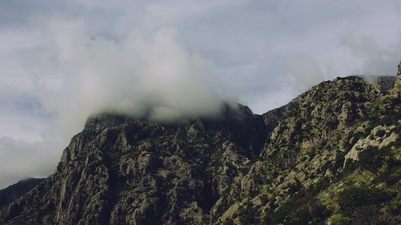
The Durmitor massif occupies the northwest of Montenegro with a physical presence that cannot be ignored. Eighteen peaks above two thousand metres, forty-eight extinct glaciers that left their mark in the form of lakes, gorges and U-shaped valleys before retreating twelve thousand years ago. Bobotov Kuk, the highest summit at 2,523 metres, is not the tallest peak in the Balkans, but it has that rare quality of mountains that dominate the horizon from any point in the surrounding landscape: it is always there, in the background, like a reference point.
For the traveller who arrives in Montenegro thinking of Kotor, of Budva, of the Adriatic and its beaches, Durmitor represents something more than a national park. It represents the possibility of understanding that this small country — barely 14,000 square kilometres — has two faces so distinct they could be two different countries.
Why the interior matters
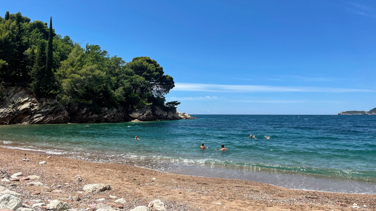
The Montenegro coast is spectacular and has its own history, its own arguments. But it is a Mediterranean coast, and the Mediterranean offers similar versions in dozens of places. What has no close equivalent is the interior: that landscape of dense mountain, canyons that seem unreal and isolated villages where the twentieth century arrived late and left early.
Durmitor is not easy to reach. That, in part, is what has preserved it. The road from Podgorica climbs through the gorges of the Morača river — a foretaste of what is to come — and arrives at Žabljak, the only municipality in Europe situated above 1,450 metres of altitude. The village itself is functional rather than beautiful: a handful of hotels, restaurants that open according to season, mountain equipment shops. It is not a destination in itself. It is a base of operations.
But from Žabljak, the park opens in every direction.
Crno Jezero and the geography of ice
Twenty minutes on foot from Žabljak is Crno Jezero, the Black Lake. The name sounds more dramatic than the place appears at first glance: two lakes connected by a narrow channel, surrounded by pine and beech forest, with the Durmitor massif in the background. In summer the water reflects the sky and the pines, and the scene has that stillness of Nordic places — something you would not expect in the Balkans.
But the geography of the Black Lake tells a story worth understanding. It is a glacial lake — one of the eighteen scattered throughout the park — formed by the accumulation of water in a depression excavated by a glacier during the last ice ages. All these lakes have the same origin: the ice that covered Durmitor for thousands of years sculpted the landscape before retreating, and left behind these basins that water gradually filled.
The result is a massif that seems designed to show the geological history of the planet on a comprehensible scale. Walking through Durmitor you do not just see landscape: you see the process by which that landscape was formed. The glacial cirques — those vertical semicircular walls that mark the place where the glacier was fed — are visible from dozens of trails. The moraines, the erratic boulders, the U-shaped valleys: everything is there, legible for those who know how to look.
The Tara Canyon: a wound in the earth
An hour from Žabljak, the landscape changes radically. The Tara river has excavated over millions of years a canyon 1,300 metres deep and eighty kilometres long. It is the second deepest canyon in the world after the Grand Canyon of the Colorado. The comparison is not rhetorical: when you stand at the edge, looking down, there is a moment of disbelief about what water and time can do to rock.
The Grand Canyon is wider, drier, more dramatic in the sense of an epic film. The Tara is greener, more intimate, more forested. The river at the bottom is blue-green, clean to the point of being transparent, one of the rivers with the best water quality in Europe. The difference in scale — the Tara in the Balkans, the Colorado in the American southwest — does not diminish the experience. If anything, it makes it more surprising: nobody expects to find this here.
The canyon holds UNESCO World Heritage status, recognition granted in 1980 as part of the Durmitor National Park declaration. It was one of the first national parks in Eastern Europe to receive this distinction, which says something about Montenegro’s early awareness of its own natural heritage.
The Đurđevića Tara bridge crosses the canyon one hundred and fifty metres above the river. It was built between 1937 and 1940, under conditions that today seem unthinkable — without contemporary engineering tools, in terrain of almost impossible access — and during the Second World War it was partially blown up by Yugoslav partisans themselves to slow the German advance. It was then rebuilt. Crossing it by car is one of those experiences that reminds you there is a difference between seeing an abyss in a photograph and standing above it.
Rafting on the Tara: the river as protagonist
The Tara is also a destination in itself. Rafting through the canyon — covering the most spectacular stretches, generally between the villages of Splavište and Šćepan Polje — is one of Montenegro’s most popular activities, and not because of tourist fashion but because the river deserves it.
The experience lasts between one and three days depending on the itinerary. The rapids vary in intensity along the route: there are gentle stretches where the river opens up the canyon and allows you to look up at the rock walls, and stretches where the water narrows and accelerates and the guide demands attention. What remains constant is the colour of the water — that turquoise that seems unreal — and the silence of the canyon walls, which absorb sound from the outside and leave only the noise of the river.
The campsites on the banks of the Tara, some with generations of history behind them, offer the possibility of spending the night inside the canyon. Sleeping at the bottom of a thousand-metre abyss while the river passes ten metres from your tent is an experience that is hard to describe without falling into cliché. It suffices to say that the darkness in there is total, and the stars above the canyon walls are among the few that still compete with electric light.
The ascent to Bobotov Kuk
Bobotov Kuk is not an eight-thousander or a technical mountaineering expedition. It is a 2,523-metre mountain that any person with good physical condition can reach in a long day. But it has that quality of summits that change perspective: from the top, the Durmitor massif unfolds in its entirety, and the scale of what you had traversed at the foot of the mountain becomes comprehensible in a new way.
The most frequented route leaves from Barno lake and ascends through high-mountain terrain to the Prutas col, from where the view already justifies the effort. From the col, the summit of Bobotov Kuk is another long hour away. The terrain in the final stretches requires some use of hands — you need to brace on the rock at certain points — but you do not need to be a climber to get there.
The season for ascending is June to October, with July and August as the safest months. Snow can remain in the north-facing couloirs well into June, and in September-October the stability of the weather begins to be less reliable. The mountain has the habit of generating rapid storms in summer, and in Durmitor mountain protocols must be taken seriously: set out early, carry layers, watch the sky.
Žabljak as base and the rhythm of Durmitor
Žabljak does not have the charm of Kotor or the energy of Budva. But it has something those cities do not: the feeling that you are in a place where the mountain determines life, not tourism. The inhabitants of the municipality are shepherds, seasonal farmers, guides. Winter is long and cold — snow arrives in October and can stay until May — and that shapes a culture that the summer visitors on the coast never come to know.
The national park can be covered in three intense days or a relaxed week. The trails are well marked, although topographic maps remain more reliable than mobile phone applications in this part of the world. Accommodation ranges from basic campsites on the edge of the park to small hotels in Žabljak, without luxury but with everything necessary.
What Durmitor demands is time and a willingness to adapt to its rhythm. It is not a park to be conquered on a day trip from the coast. To understand it you need to stay, to walk for several days, to arrive at Lake Zminje at sunset when there is no one else around, to watch the dawn from one of the ridges. The national park is exactly the right size to allow you to get lost without real danger while making it impossible to master in a single day.
The UNESCO designation and what it means
Durmitor National Park was declared a UNESCO World Heritage Site in 1980, in the same round as Plitvice National Park in Croatia. It was an early recognition — Yugoslavia was one of the first countries to inscribe natural heritage on the list — which reflects both the singularity of the place and the vision of Yugoslav institutions regarding conservation.
The recognition has protected the park from developments that would have been devastating. Durmitor has no paved roads within its boundaries beyond the essential ones. There are no large hotel complexes. Tourist infrastructure exists but does not dominate the landscape. That, in a corner of Europe where coastal tourism has developed at accelerated speed, is no small thing.
The tension between conservation and development is a permanent conversation in Montenegro, a country that needs tourist income but whose most valuable asset is its natural heritage. For now, in Durmitor, that conversation is being won by the landscape.
The interior as argument
Whoever goes to Montenegro only to the coast will leave with half the story. A beautiful story, well told, with its bays and its Venetian cities and its blue Adriatic. But half a story.
Durmitor is the argument for staying longer, for renting a car and heading north, for swapping the swimsuit for boots and the beach bar for the mountain refuge. Not because it is better than the coast — they are incomparable experiences — but because together they form a country that has more layers than most travellers ever get to see.
Bobotov Kuk seen from the bottom of the Tara canyon. The Black Lake first thing in the morning, with the mist still among the pines. The shepherds moving their cattle across the high-altitude pastures in July. Those images do not compete with the ones from Kotor. They complement them. And without them, Montenegro is reduced to its tourist version, which is only part of what it is.
If you want to go deeper into every route, city and corner of Montenegro, the Far Guides complete guide has it all: interactive maps, up-to-date information and offline access.
More on Montenegro
Keep reading.
Other pieces from the same destination.
Next step
Ready for Montenegro?
The guide is for travelling.
Offline maps, itineraries and everything that doesn't fit in an article.
Get the Montenegro guide